Things to do around Sjællands Odde
Most traffic drives straight through. The peninsula is 15 km of ice-age landscape, with a working fishing harbour halfway along it.
Checked:
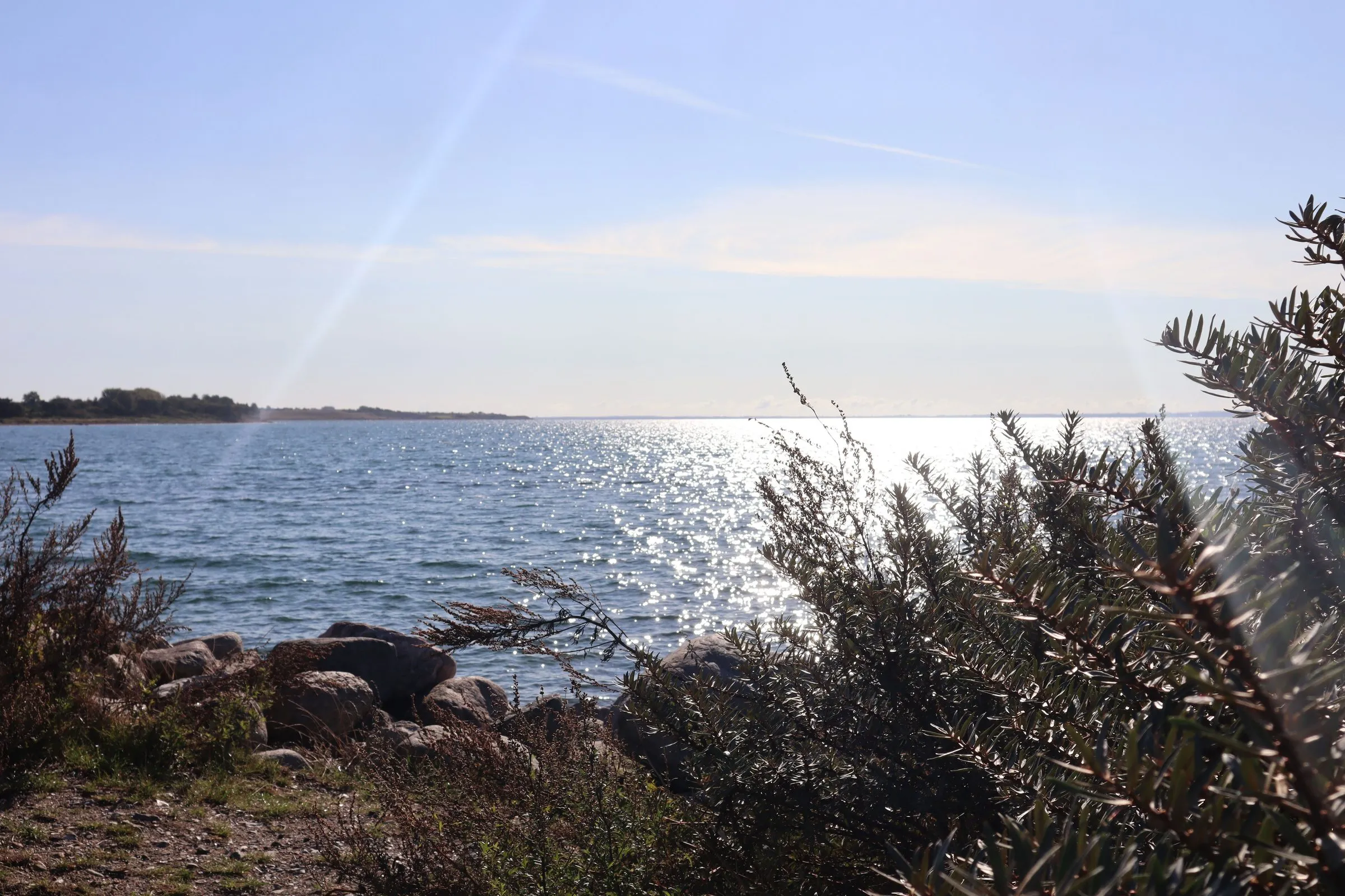
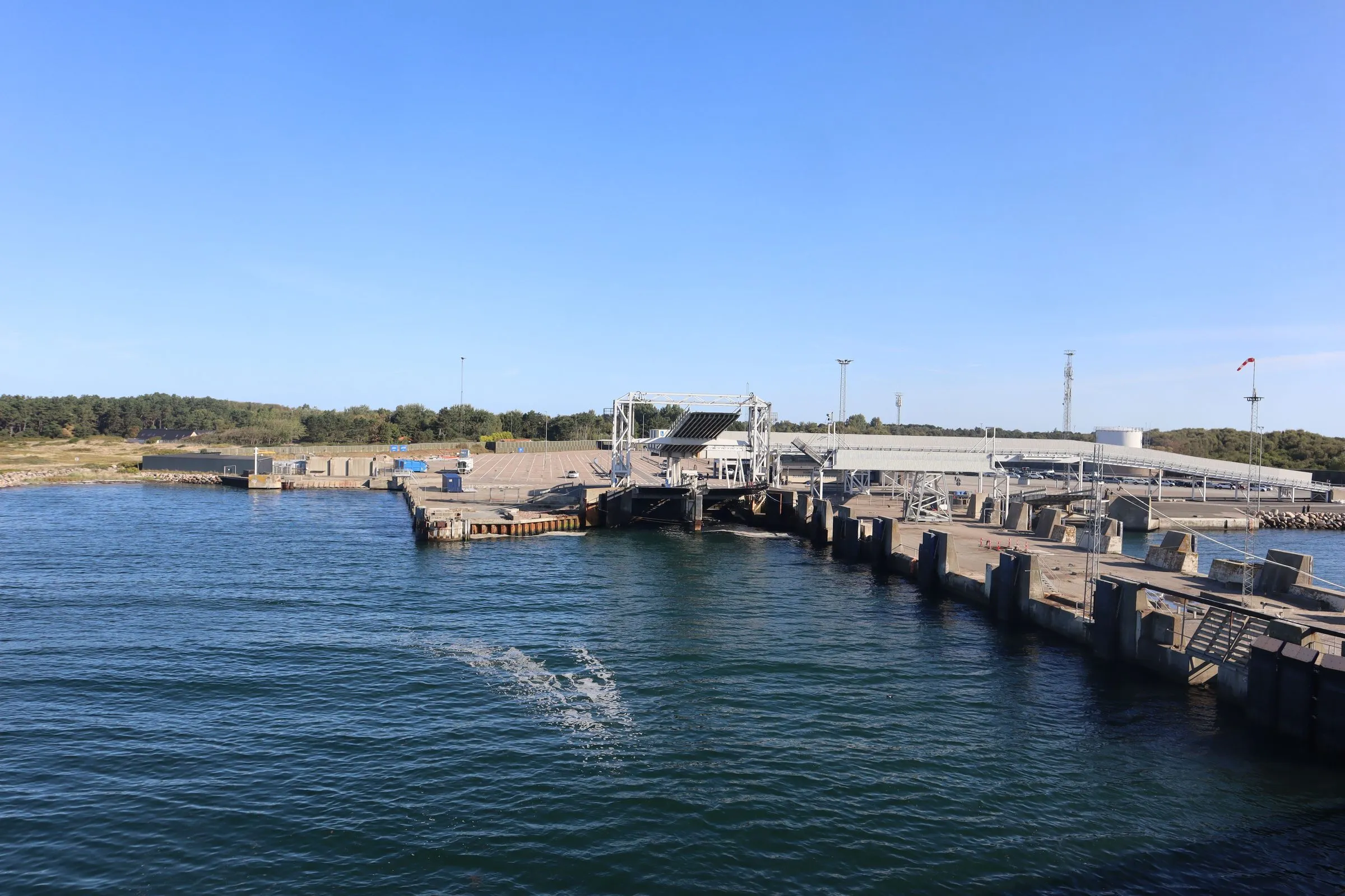
The ferry lands at the end of a 15 km peninsula with the Kattegat on one side and Sejerø Bay on the other, and almost every vehicle that comes off drives the length of it without stopping. Route 21 makes that easy.
Havnebyen
There is little at the terminal itself. The village is Havnebyen, a short way along the coast on the north side of the spit. It is a working fishing harbour with a fish shop, several restaurants, ice cream stands and the old auction hall, which in summer is used for food and events rather than fish.
It is a working harbour rather than a marina dressed up as one, and the obvious place to spend an hour or so before a sailing, once you have allowed for check-in. By bicycle it is about 12 min from the terminal; on foot it takes considerably longer.
Kastanielys, and dipping your own candles
Out on the peninsula there is a candle workshop and lifestyle shop. Candles are made the original way: stretched wicks are dipped again and again until they reach the shape wanted, then coloured and finished. Visiting children can colour the candles they buy in the shop’s own dye containers.
Then there is the setting. The shop looks out over vineyards, and from there a path leads up to Hulbjerg, at 29 metres the highest point on Odden and the site of a trigonometric station. You can sit on the terrace, and there are tables and benches for a stop along the way.
The landscape, and why it is a UNESCO geopark
This scenery does not announce itself. It is low, wide and full of light, and what makes it special lies in the ground.
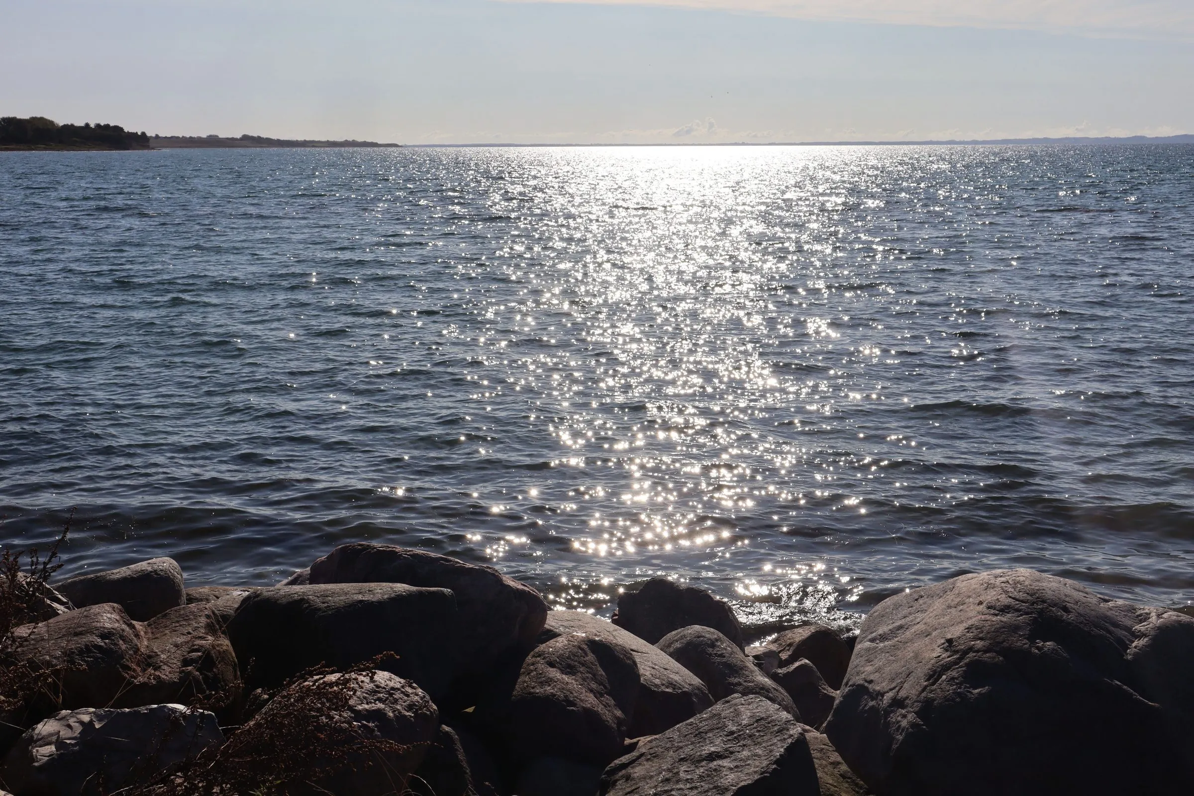
The whole peninsula sits inside Odsherred UNESCO Global Geopark. Its spine is the Odsherred Arches, three curved ridges pushed up by ice during the last glaciation around 17,000 years ago and cited internationally as a textbook example of a landscape made by ice. Sjællands Odde itself has a core of older end moraines bound together by younger marine deposits.
That same light, low and wide off two seas, drew a group of painters here in the early twentieth century who are still known as the Odsherred painters.
On a bicycle
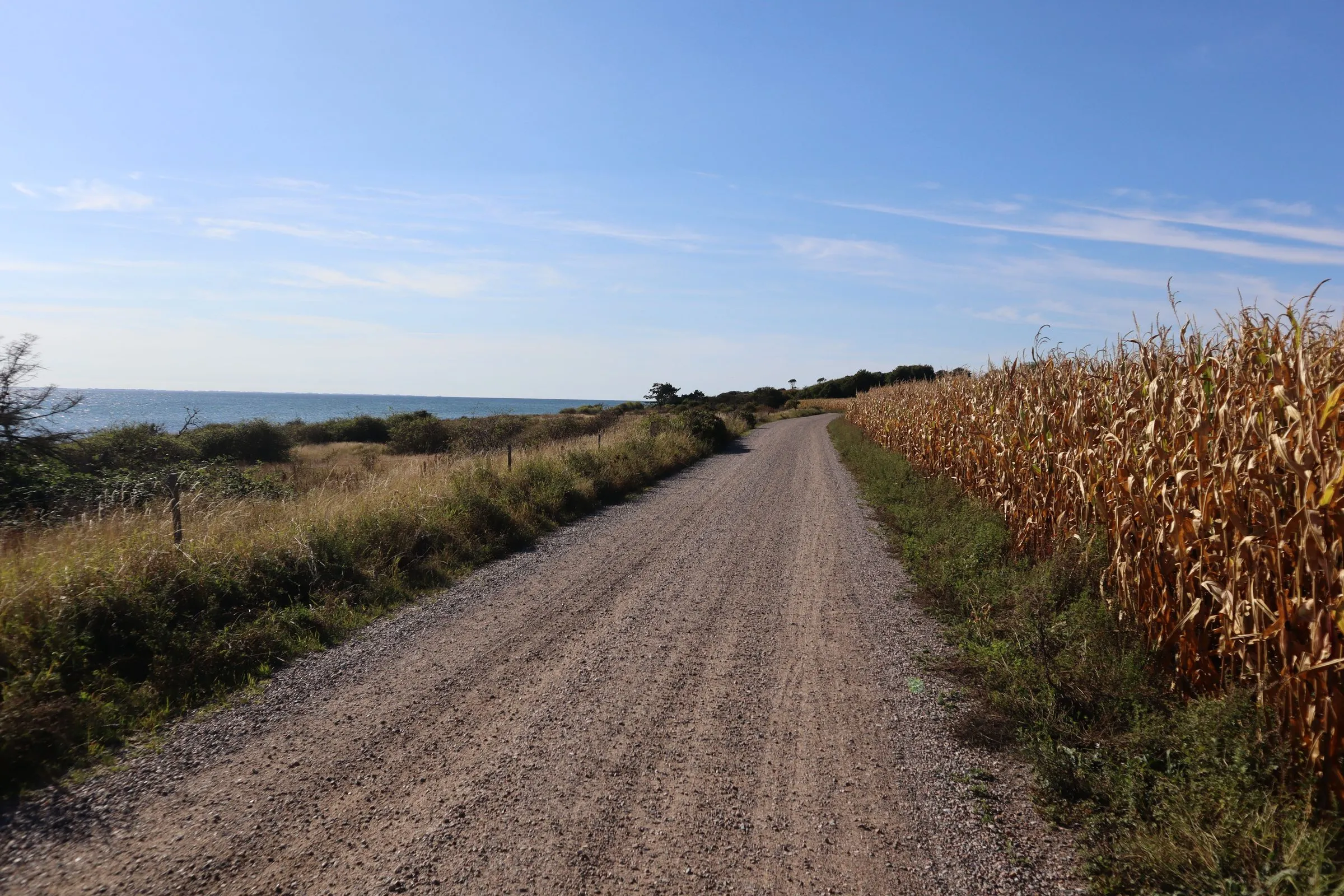
The peninsula is well suited to cycling: small roads, gravel tracks, water on both sides and very little traffic. A day trip of around 40 km takes in the villages, Havnebyen, Kastanielys and a good deal of coast, and gets you back to the terminal in time for an evening sailing.
There is also a marked walking route around Havnebyen of about 11 km if you would rather be on foot.
See by bike for how to get the bicycle across, which costs nothing.
Staying on Sjællands Odde and in Odsherred
Most of what is on this page needs more than the gap between two sailings. The map opens on the peninsula; zoom out for the wider Odsherred region behind it.
Loaded from another company
This map comes from Stay22 and sets its own cookies. It stays off until you ask for it.
You book through our partner. We may receive a fee for this, at no extra cost to you.
What is within reach of the ramp
| Distance from the terminal | By bike | By car | |
|---|---|---|---|
| Havnebyen | About 3 km | 12 min | 5 min |
| Kastanielys and Hulbjerg | About 6 km | 25 min | 10 min |
| The north coast beaches | About 12 km | 45 min | 15 min |
| Nykøbing Sjælland | About 22 km | 1 hr 20 min | 25 min |
| Vejrhøj | About 35 km | Half a day | 30 min |
Cycling times assume an unhurried pace on flat roads, which is what the peninsula offers.
Getting around once you are there
The peninsula is small enough to cover without a car.
- On a bicycle, the peninsula can easily be explored in a day. Small roads, gravel tracks and very little traffic. The bicycle crosses free, so there is no reason to leave it behind. See by bike
- On foot, the marked route around Havnebyen is about 11 km and takes in both coasts
- By bus, local services reach the harbour and in season are usually timed to ferry arrivals. They leave soon after docking, so they suit an onward journey rather than a look around
- By car, everything on this page is within 35 km of the ramp
Out of season
Odsherred is a summer region, and much of what is open in July is not open in February. The harbour at Havnebyen keeps working all year because the fishing does, but the ice cream stands, the auction hall events and the shorter opening hours at smaller places follow the season.
The ferry keeps running. Aarhus to Odden sails all year, which makes an out-of-season crossing quieter at both ends. Fares still move with demand, so check both the price and the opening times before you plan an afternoon around one particular place.
Further into Odsherred
If you have longer than an afternoon, the peninsula is the entrance rather than the destination.
- Nykøbing Sjælland, about 20 min, the main town of the region
- The north coast beaches, which face the Kattegat and are a long way from the Copenhagen day-trip belt
- Vejrhøj, the clearest of the Odsherred Arches, the ice-age ridges that shape the region, with the view that goes with it
- Holbæk, about 40 min, and the fjord behind it
Questions people ask
Is there anything at Odden ferry port?
At the port itself, very little. The village is Havnebyen, a working fishing harbour a short way along the coast, with a fish shop, restaurants, ice cream stands and the old auction hall used for food and events in summer.
What is Geopark Odsherred?
A UNESCO Global Geopark covering the peninsula. Its spine is the Odsherred Arches, ridges pushed up by ice around 17,000 years ago and cited as a textbook example of a glacial landscape.
What is Kastanielys?
A candle workshop and lifestyle shop on Sjællands Odde where candles are made by repeated dipping. Visitors can colour their own, and the terrace looks out over vineyards.
How long is Sjællands Odde?
About 15 km, between the Kattegat on one side and Sejerø Bay on the other. It is narrow enough that you are rarely far from water on either side.
Is it a good place to cycle?
Very. Small roads, gravel tracks, almost no traffic and water on both sides. A day trip of around 40 km covers most of the peninsula comfortably.